72
Lot 819
Lot 820
Lot 821
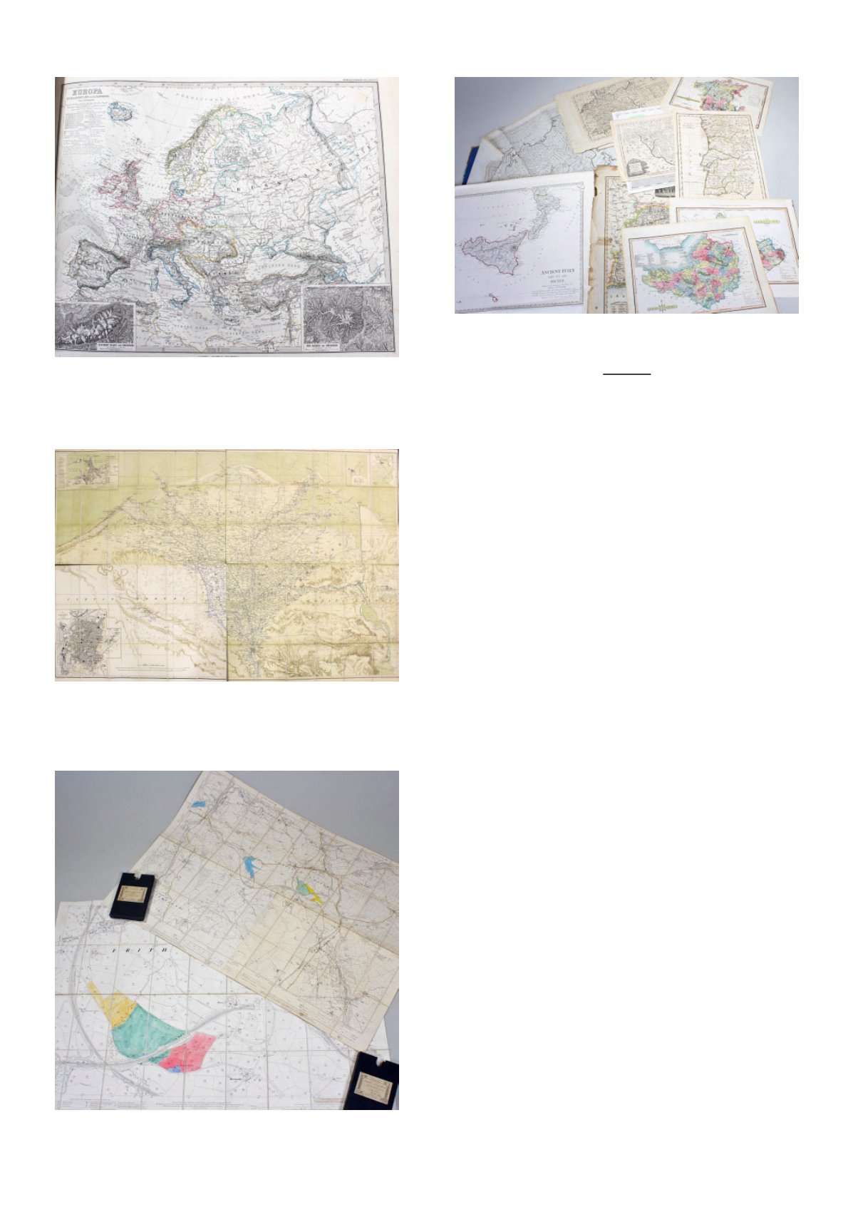
Lot 826
Maps
819
Adolf Stieler Hand Atlas, Gotha Justus
Perthes, 1876, maps No. 2 to 90, later
bound
£100 - £150
820
Edward Stanford, four part folding map of
Libyan and Arabian desert, on cloth, with
outer case, approx. 165cm wide x 111cm
high
£100 - £150
821
Edward Stanford, Geographer To His
Majesty, two folding maps of Chapel-En-
Le-Frith, both on cloth, with cases, (2)
£10 - £20
822
J & W Emslie, Official Railway Map of
England & Wales, Prepared & Published
at the Railway Clearing House, London
1906, folding and mounted on cloth, 130cm
wide x 148cm high
£40 - £60
823
John Ogilby, road map London to
Flamborough, circa 1675, hand coloured,
46cm x 37cm
£30 - £50
824
Karte Von der Moldau, 18th Century map
of Bessarabien, (Moldova/Ukraine) 46cm
x 41cm
£30 - £50
825
Mixed rolled maps, to include, Ordnance
survey of Ireland, Index to the Townland
Survey of the County of Mayo, Khartum
And Omdurman, published on behalf of
the War Office by Edward Stanford,
Egyptian Sudan The Nile From Metemma
to Khartum, also by Edward Stanford etc.,
(qty)
£40 - £60
826
Quantity of various maps, to include,
Westmorland by Robert Morden, The
Russian Empire in Europe and Asia by
Thomas Bowen George, Ancient Italy Part
III engraved by J. & C. Walker etc., (qty)
£100 - £150


