104
Lot 978
Lot 980
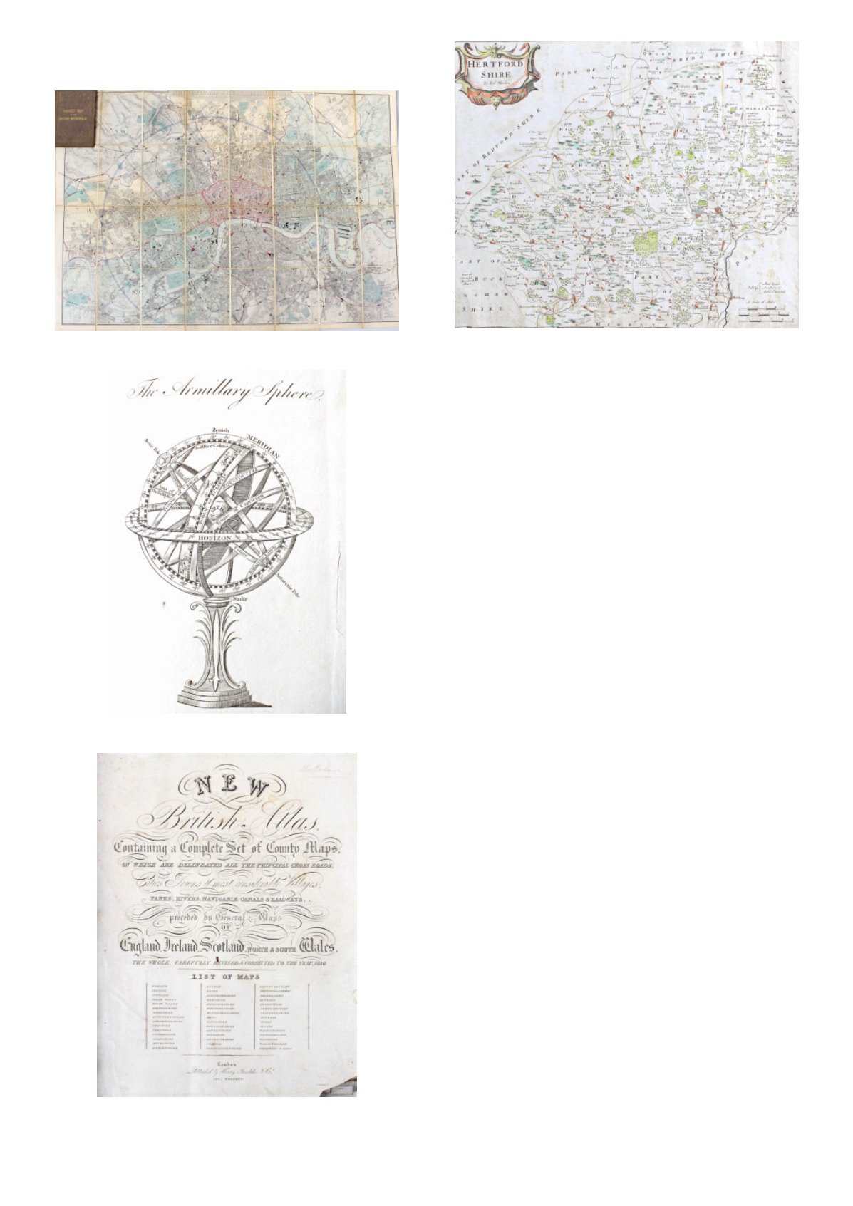
Lot 981
Lot 985
978
Davies' Map of the British Metropolis,
'The Boundaries of the Boroughs,
County Court Districts, Railways, And
Modern
Improvements',
London
Published March 1st 1882 By Edward
Stanford, 55 Charing Cross, folding map
on cloth, 96.5cm wide x 68cm high
£40 - £60
979
G.F Cruchley, ordnance survey folding
map
of
Surrey,
Hertfordshire,
Buckinghamshire etc., 101cm x 131cm
£50 - £70
980
Maps to Guthrie, an Atlas To Guthrie's
Geographical Grammar, having various
coloured fold out maps, 22cm high
£80 - £120
981
New British Atlas containing complete
set of County maps, on which are
delineated all the principal cross roads,
Cities, towns & most considerable
Villages, parks, rivers, navigable canals
& railways, preceded by general maps of
England, Ireland, Scotland, North &
South Wales.the whole carefully revised
& corrected to the year 1830, London,
Published by Henry Teesdale & Co, 302,
Holborn, folding map of Scotalnd and
Ireland, the county maps as listed,
approx. 48cm high
£300 - £500
982
Quantity of unframed black and white
maps, to include, Sooloo Archipelago,
Published Dec. 10th 1771, together with,
Map of Balambangan, Published Nov.
30th 1770, and Part map of Borneo, all by
Alexander Dalrymple, (3)
£100 - £150
983
Robert Morden, coloured map of
Leicestershire, Part of Nottinghamshire
and Part of Northamptonshire, 52cm
wide x 47cm high including frame
£30 - £50
984
Robert Morden, three 18th Century
engraved black and white maps,
Oxfordshire,
Barkshire
and
Buckinghamshire, (3)
£50 - £70
985
Two Robert Morden maps, the first of
Bedfordshire, the second a coloured map
of Hertfordshire, (2)
£50 - £70


