86
Maps
Lot 992
Lot 994
Lot 995
990
19th Century French map of Brussels,
with some colouring, 56.5cm wide x
44cm high
£100 - £150
991
Collection of mostly 18th Century maps
and other etchings and engravings, to
include, Giovanni Brun Sculps in Roma
1798, together with, Venise 1700, Rade De
Brest 1779, Alessandria, Livorno, coloured
plan for the battle of Fontenoy in 1745
etc., (qty)
£200 - £300
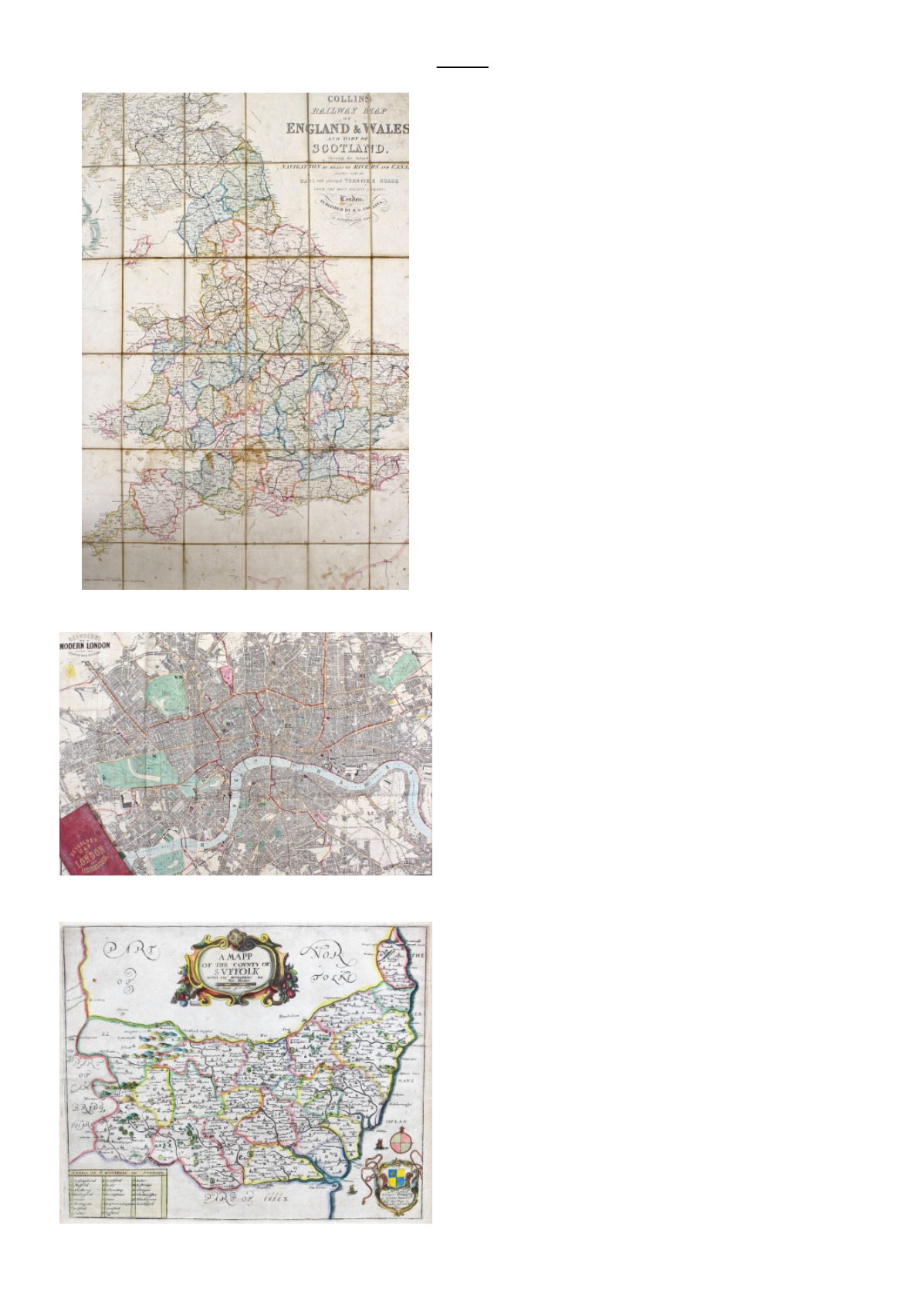
992
Collins Railway Map of England &
Wales, and Part of Scotland, Shewing the
Inland Navigation By Means of Rivers
And Canals together with the Rail and
principal Turnpike Roads From The
Most Recent Surveys, London: Published
By H.G. Collins, Paternoster Row,
folding and mounted on cloth, 67cm wide
x 96cm high
£30 - £50
993
Mixed maps and guide books, to include,
Wardlock & Co. Illustrated Guide
Books, The Stars In Six Maps on the
Gnomonic Projection, a roll of unframed
maps on cloth etc., (qty)
£30 - £50
994
Reynolds Map of London and Visitors
Guide, divided into quarter mile sections,
folding and on cloth, 73.5cm wide x 50cm
high
£40 - £60
995
Ric Blome, a coloured Map of the County
of Suffolk 1673, Thomas Timperley of
Hintlesham Hall Esq., this map is humbly
dedicated by Ric Blome, the map 35cm
wide x 29.5cm high
£30 - £50
996
Robert Morden, coloured map of
Nottingham Shire, and part of Darby
Shire, 43cm wide x 36cm high, together
with, Robert Morden, coloured map of
Lincoln Shire, 43cm wide x 38.5cm high,
and John Speede, The Countie of
Nottingham, 52cm wide x 39.5cm high,
(3)
£60 - £80
997
Stanford's Map of Scotland, folding and
in two parts, London: Published by
Edward Stanford, 55 Charing Cross, S.W.
August 1st 1882, on cloth, 105cm wide x
121.5cm high, with case
£40 - £60


